File contains five maps of Hernando Island: two showing plans of pre-emptions, 1891-1892; two copies of an old hand-drawn map, 1955; and one map of a later proposed development (undated). Some maps have notes on homesteads.
File contains five maps of Hernando Island: two showing plans of pre-emptions, 1891-1892; two copies of an old hand-drawn map, 1955; and one map of a later proposed development (undated). Some maps have notes on homesteads.
File contains a hand-drawn map of Hernando Island showing original pre-emptions, with information about settlement, schools and changes of title written on it.
File contains a hand-drawn map of Hernando Island showing original pre-emptions, with information about settlement, schools and changes of title written on it.
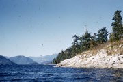
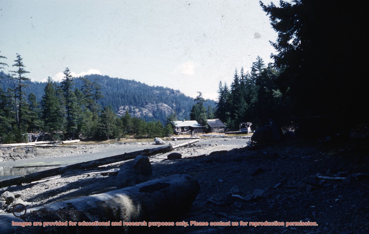
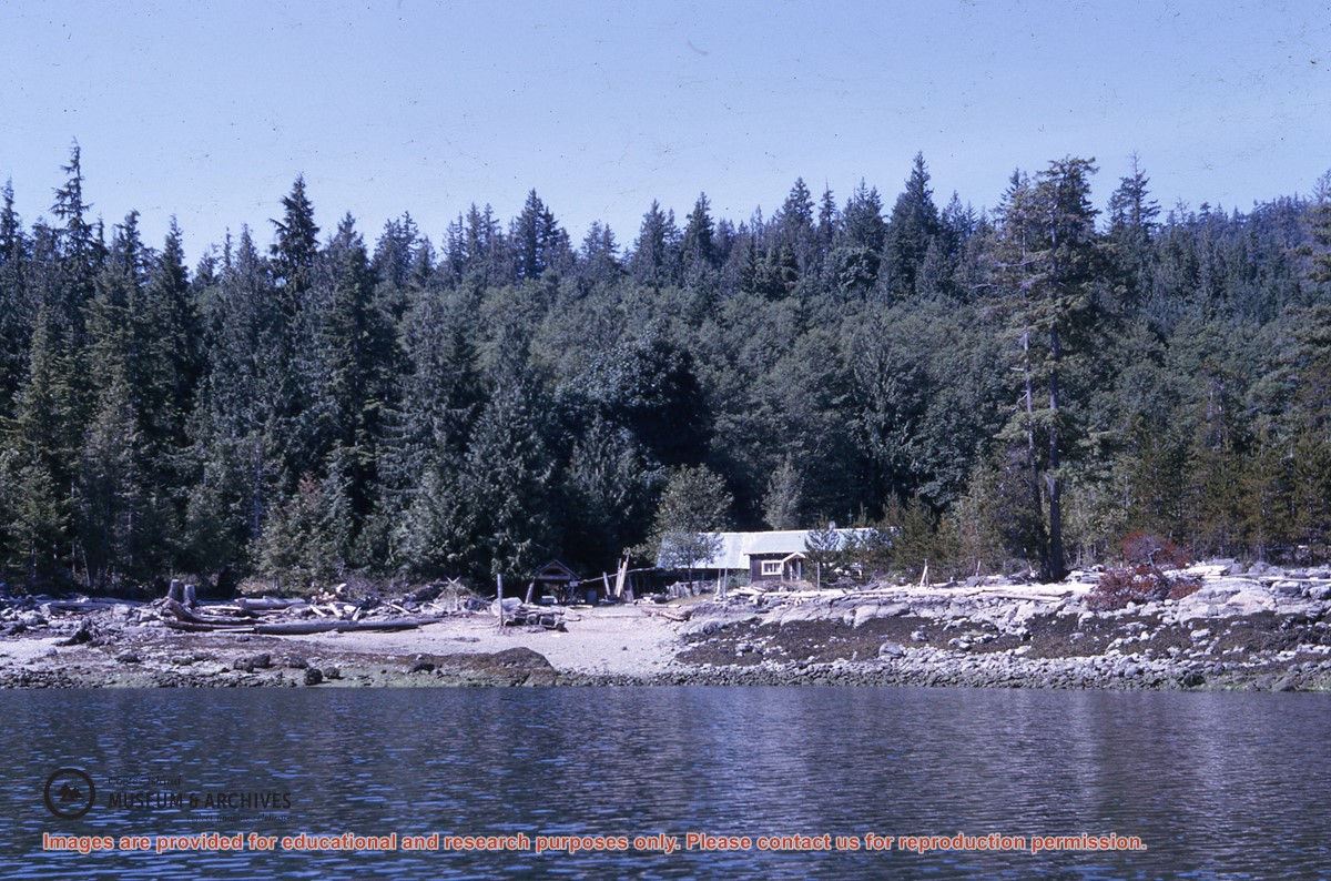
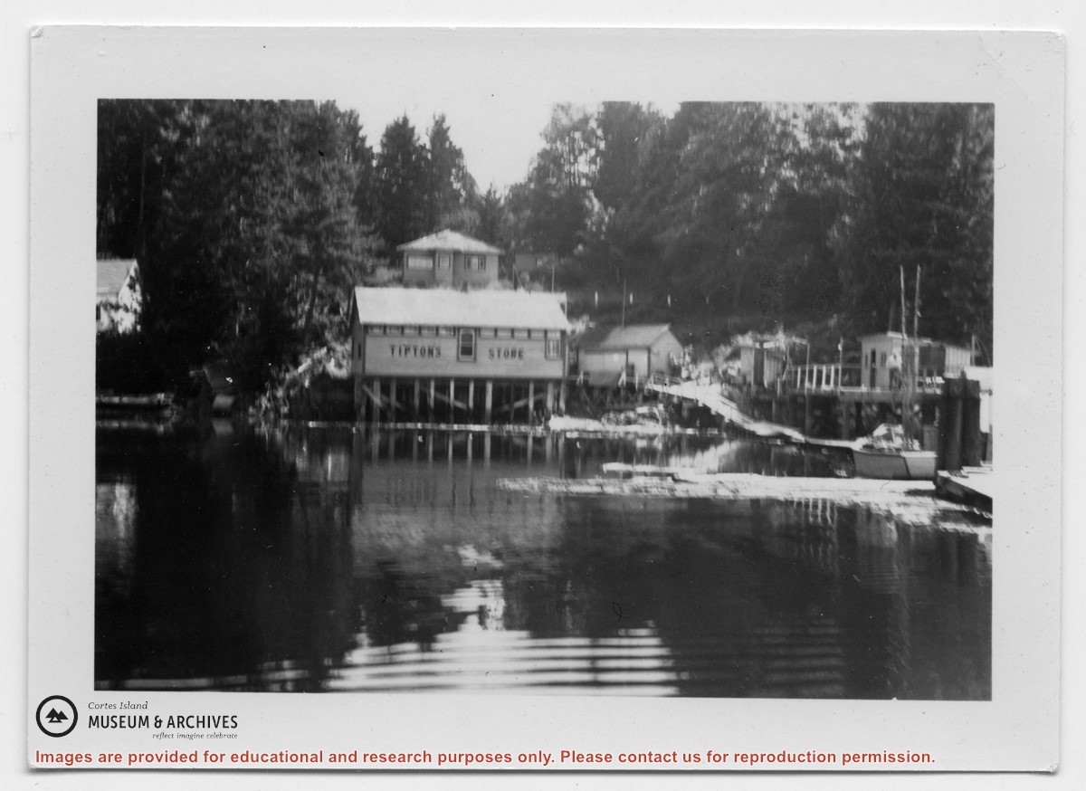
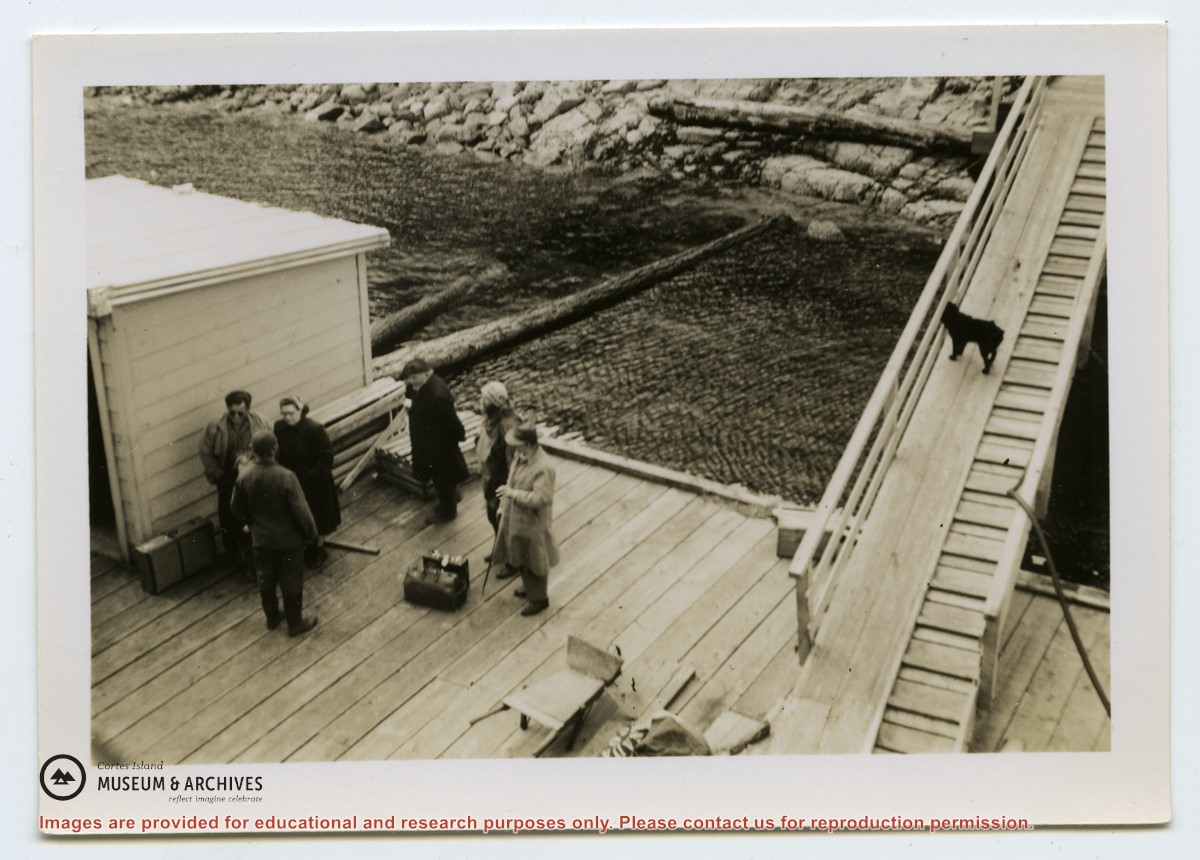
Photograph of Tipton's store at Surge Narrows, Read Island, from the water. A house is above it and to the right, the wharf, walkway and sheds may be seen.
Photograph of Tipton's store at Surge Narrows, Read Island, from the water. A house is above it and to the right, the wharf, walkway and sheds may be seen.
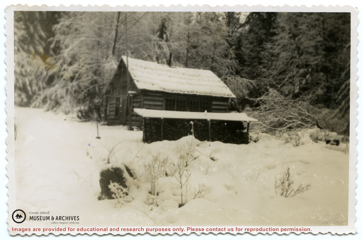
Photograph of the old log school on Read Island, which was about a mile back from the water .A woodshed is to its side; the ground and roofs are covered in snow.
Photograph of the old log school on Read Island, which was about a mile back from the water .A woodshed is to its side; the ground and roofs are covered in snow.